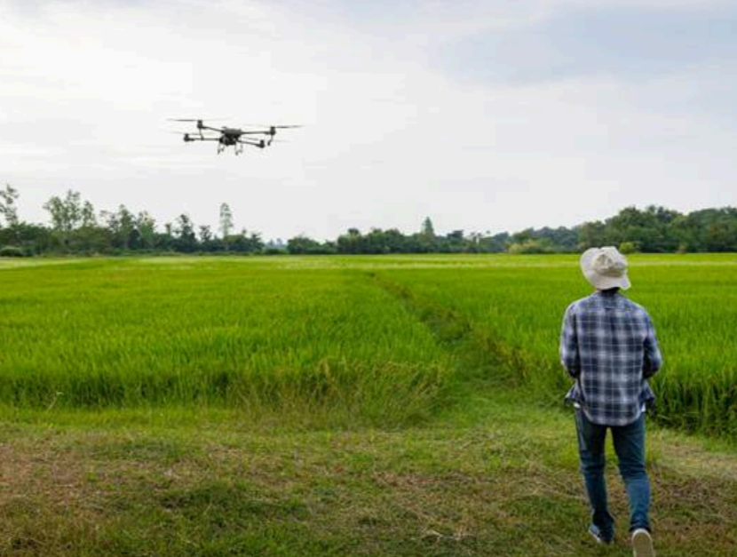
Agricultural systems are changing quickly, and modern tools are essential to maximize productivity. To make informed decisions, farmers and researchers need the help of agricultural tools to provide them with accurate and precise input data.
Drones, also known as Unmanned Aerial Vehicles (UAVs), are one such tools.
Using drones for agricultural research requires careful planning and clear procedures to derive useful and reliable data. This manual provides a step-by-step guide for researchers and drone operators, from preparing for a flight to collecting and analyzing images. Furthermore, this manual promotes safety, consistency, and high-quality data collection processes.
Developed by scientists at the IRRI South Asia Regional Centre (ISARC), this manual adapts the standard agricultural data collection protocol, suited for region-specific rice and wheat systems. It helps researchers and technicians follow proven steps to gather reliable data that supports precision agriculture, crop evaluation, and environmental monitoring.
The following is a summary of what this manual is designed to help users accomplish:
1. Planning Clear Objectives and Setting the Right Tools
The manual helps researchers begin with clarity, defining what they aim to observe or measure, and then match those goals with the appropriate drone platform, sensors, camera settings, and flight timing. It emphasizes how poor planning or incorrect timing (e.g., unfavorable weather or lighting) can compromise the entire data collection effort.
2. Field Assessment for Safe and Effective Flight Operations
Field conditions vary widely, and this manual offers a systematic approach to survey the site beforehand, identify obstacles (trees, buildings, power lines, etc.), and evaluate terrain. It equips users to make risk-aware decisions that prioritize safety for people, equipment, and the surrounding environment.
3. Standard Guides for High-Quality Data Collection
To ensure drone flights generate scientifically usable data, the manual instructs users to:
- Follow correct flight paths and maintain adequate overlap for full field coverage;
- Use Ground Control Points (GCPs) to accurately link drone images with real-world coordinates;
- Avoid common imaging errors such as glare or sunspots; and
- Take calibration images before and after flights to maintain image consistency and accuracy.
4. Data Processing and Result Generation
The manual offers detailed guidance on post-flight tasks, including:
- Reviewing image quality on-site to prevent data loss;
- Processing images in mapping software for orthomosaics or 3D models;
- Georeferencing images for spatial alignment with real-world maps; and
- Transforming imagery into analytical outputs such as crop health reports, field variability maps, and digital records for research.
By standardizing how data is collected, processed, and analyzed, this manual ensures that results are comparable, reliable, and actionable—regardless of location or timing. It enables IRRI researchers and partners across South Asia in generating real-time farmer-relevant insights. With this guide, each drone flight contributes toward a smarter, data-driven agriculture.
Link to the UAV-Based Manual for Agricultural Data Collection
UAV-Based Manual for Agricultural Data Collection
