

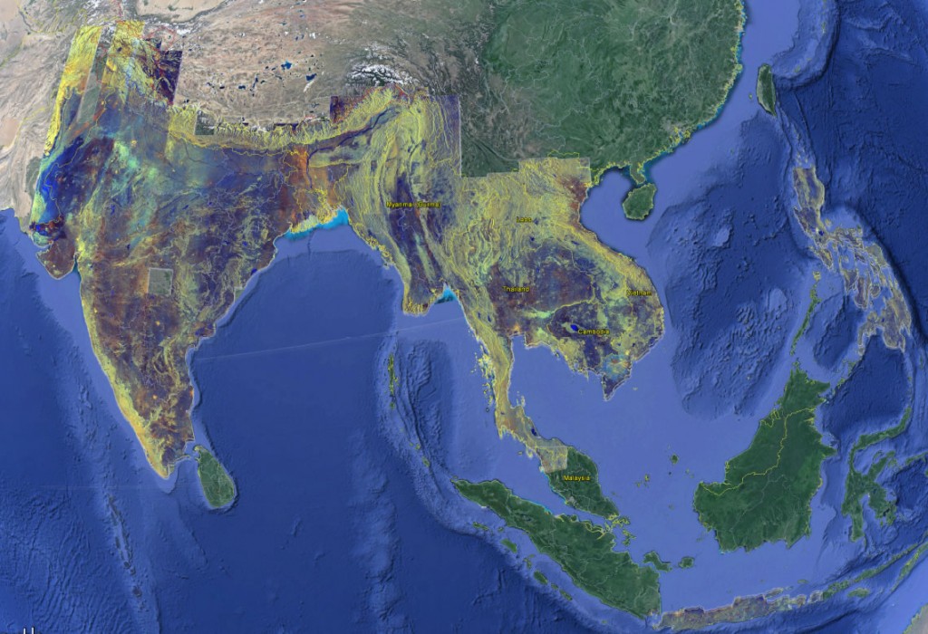
Google Earth, the Group on Earth Observations, and the University of Sydney will develop the world’s first mobile app for real-time monitoring of rice fields globally.
Using the Google Earth Engine, the real-time mobile app will allow government planners, scientists, farmers, and non-government organizations to manage land use for attaining food security.
The data generated by the app will be verified by field operators in India, China, Malaysia, Indonesia, and Vietnam to ensure its accuracy.
Read the full story at Mirage
More on real-time monitoring of rice production areas: