by Veronica Mae Escarez

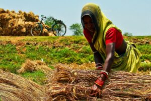
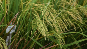
Rice is a staple crop in the Philippines, and it serves as the main source of calories for millions of Filipino households. However, the country is vulnerable to various climatic threats and shocks such as flooding and drought, driving millions in capital losses for smallholder rice farmers and threatening the nation’s food security. The Philippine Department of Agriculture reported at least Php 15 billion worth of agricultural losses in 2024 due to natural calamities, pests, and diseases.
As a measure to adapt to these threats, rice farmers apply for crop insurance, which serves as a safety net by providing financial protection in the event of production losses. Yet farmers still find it difficult to access compensation due to the slow claim processing, subjective damage assessments, and inadequate coverage. This, in turn, discourages farmers from availing traditional crop insurances.
The CGIAR Climate Resilience (ClimBeR) Initiative, in collaboration with the Philippine Crop Insurance (PCIC), the Philippine Rice Research Institute (PhilRice) and the International Rice Research Institute (IRRI), developed the area-based yield (ARBY) index insurance for rice using satellite data. “Basically, this digital tool allows for quicker payouts with more objective and accurate damage assessments.”, shared IRRI Senior Scientist Dr. Alice Laborte, “We use geospatial information to map and monitor the rice farms as well as assess the damages inflicted to ensure that our assessments are accurate and efficient.”
Compared to traditional crop insurance, which requires an on-site adjuster to assess farm damage, ARBY is an index-based crop insurance that utilizes the historical average yield of insurance zones to define insurance thresholds through the Philippine Rice Information System (PRiSM). ARBY makes the delivery of insurance information more cost-efficient and timelier. ARBY is based on satellite data which means that farmers do not have to report individual field damage, and it offers comprehensive coverage against climatic risks, such as droughts, floods, saline intrusion, as well as pests and diseases.

Through this process, smallholder rice farmers can secure their capital immediately in preparation for the next planting season. Moreover, ARBY reduces moral hazards since it relies on satellite data. Lastly, using PRiSM allows ARBY to be scalable without additional significant expenses. ARBY has been tested in 6 municipalities in the Philippines: Canaman and Pamplona in Camarines Sur, Ivisan and Sigma in Capiz, Echague and San Isidro in Isabela.
The CGIAR Science Programs on Climate Action and Scaling for Impact, CIAT of the Alliance of Bioversity and CIAT, Philippine Atmospheric, Geophysical and Astronomical Services Administration (PAGASA), as well as the initial ARBY Philippine national collaborators (PCIC and PhilRice) will be partnering to develop and distribute a bundle of ARBY and Climate+,a climate-adjusted, farm-level, agro-advisory platform which delivers timely and actionable information which can help farmers in their decision-making. This bundle will be offered to over 1,000 smallholder farmers in the provinces of Isabela and Camarines Sur.