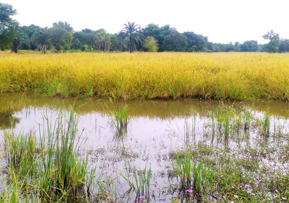
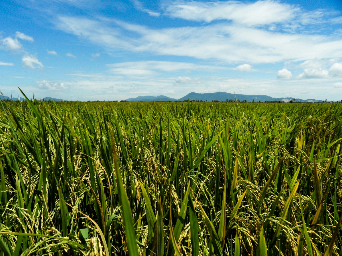
In the Senegal River Valley (SRV) region, rice is primarily cultivated by smallholder farmers under irrigated ecosystems....
Maps
by Amit Kumar Srivastava, Suranjana Bhaswati Borah, Payel Ghosh Dastidar et al. Around 80% of India’s rice...
by Veronica Mae Escarez Scientists from the Sokoine University of Agriculture, the University of Copenhagen, the Tanzania...
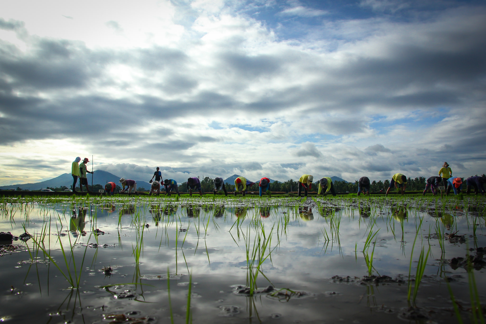
by Mosharaf Hossain, Swati Nayak, Girija Swain, Pavan Yeggina, and Mukund Variar Natural calamities, primarily floods, of...
Remote sensing based Information and Insurance for Crops in emerging Economies (RIICE) has been applied over main...
Crop calendars report the timing of key agricultural activities and crop development. At their most detailed, crop...

In this study, we used radial kernel support vector machine (SVM) to map the crop types of...

Irrigated rice production in East Africa is projected to increase slightly due to CO2 fertilization and less...
Future rice production and food security across Africa are under pressure as a result of climate change-induced...
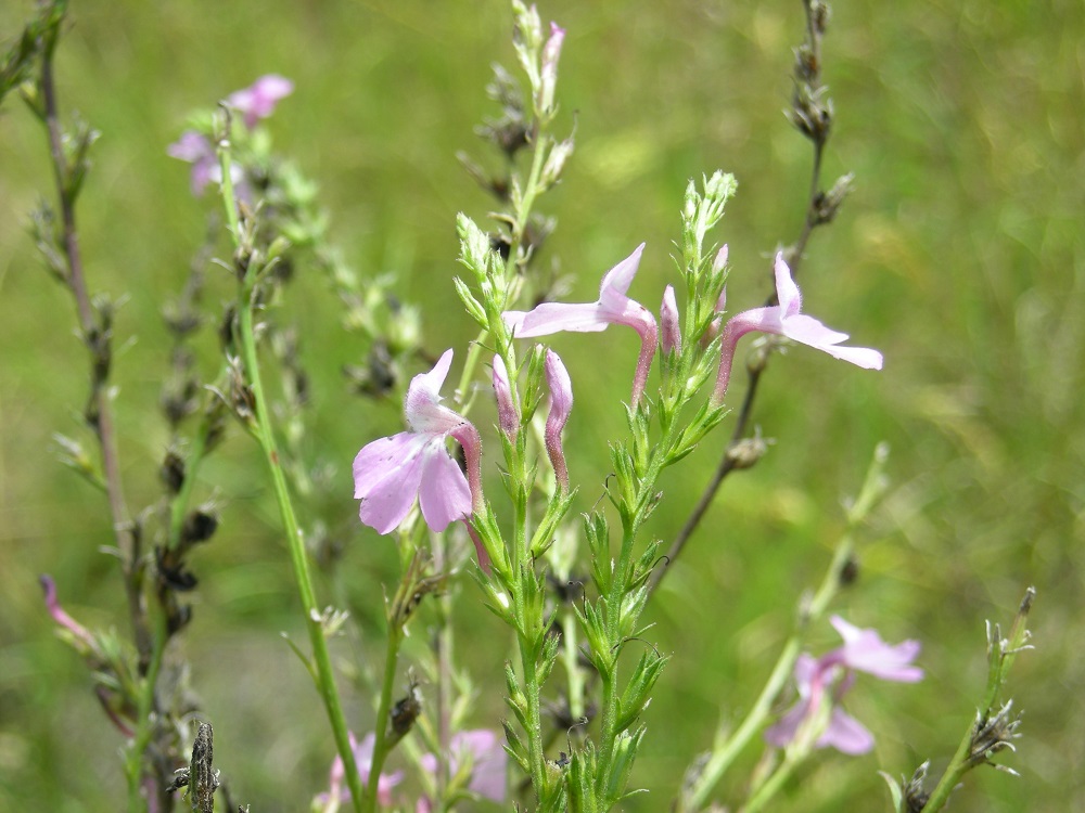
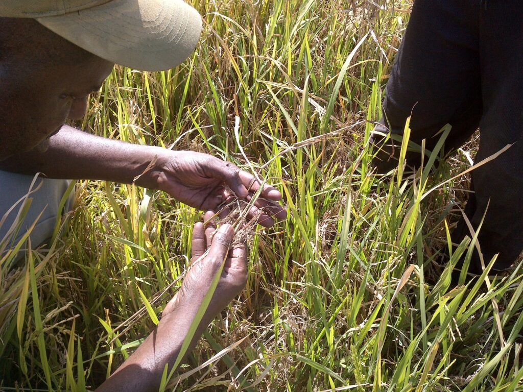
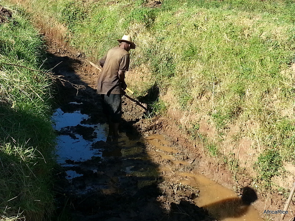
Parasitic weeds invade around 1.34 million hectares of rainfed rice areas in Africa causing damages estimated at...


