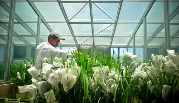
C4 plants such as maize and sorghum have more efficient photosynthesis than C3 plants. The photosynthesis in...
Maps
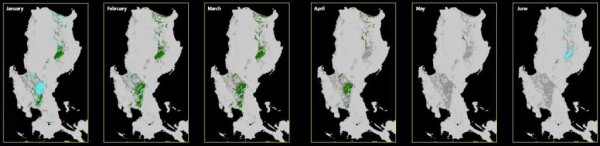
Where? When? How much? These are some of the most frequently asked questions about rice cultivation...
Global rice areas produced more than 690 million tons of rough rice in 2012.1 If we divide...
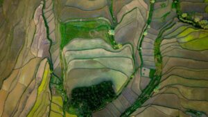
Recent advances in remote sensing are quite exciting. A case in point is the availability of high-resolution...

In a study conducted by the International Rice Research Institute (IRRI), it was found that, on average,...
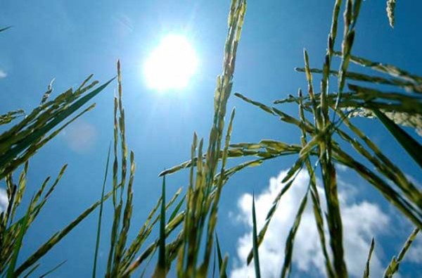
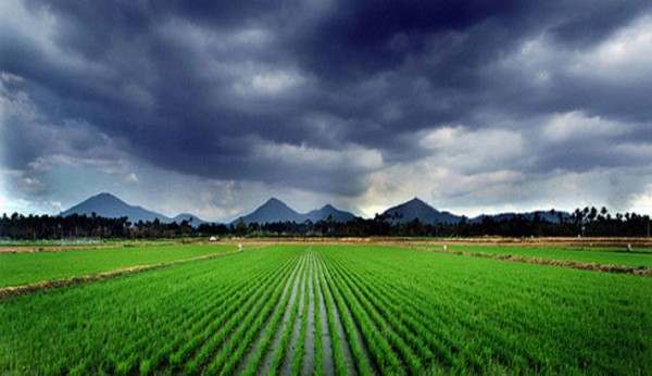
Rice thrives in hot and dry to humid climates. However, extreme heat episodes can irreversibly damage rice...

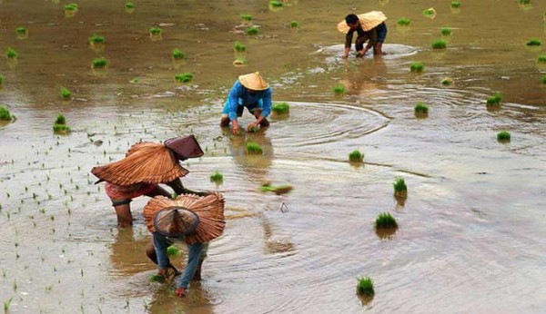
Named after the twin river systems, the Indus and the Ganges, the Indo-Gangetic Plain (IGP) is South...

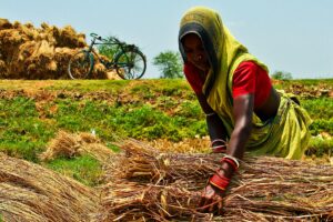
Rice is the major staple food crop in Bangladesh. The harvested area covers 11.5 million hectares (because...
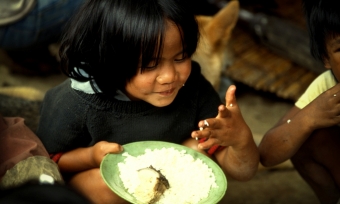
On average, each person in the world consumes more than 50 kilograms of rice a year (see...

Remote sensing and spatial modeling have evolved significantly in recent decades.Tools are already available that can be...