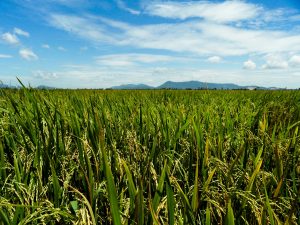
For the past 50 years, rice yield in Asia has generally increased from year to year. However, when we look at stability, the numbers reflect variations in annual yield. The two maps below represent average rice yield and its stability during the 1960s (Map 1, below) and the 2000s (Map 2). A bivariate legend represents both these factors in each map. As yield increases, the color changes from brown to green, and then blue. Meanwhile, an increase in stability is represented by the transition of colors from dark to lighter shades.

The maps show the variation in rice yield trends across Asia. In the 1960s, the darker brown and green shades dominated since yield and yield stability were almost uniformly low. In the 2000s, however, these colors turned to lighter green and blue as yield clearly increased. Some regions, though, have stubbornly low interannual stability (darker shades) in yield, and hence in production.

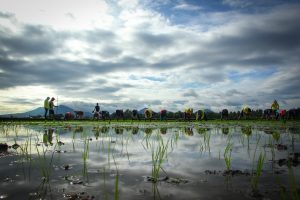
The graphs below show the percentage of rice area in Asia in the 2000s that is cultivated under irrigated or rainfed conditions. We calculated these percentages for regions where the average yield was below 2, between 2 and 4, and above 4 tons per hectare (left) and for regions where yield stability was either low, medium or high (right).

The presence of irrigation explains much of the spatial pattern in average yield—more irrigated area means higher yield. But, for yield stability, this is less of an issue. Stability from year to year is likely to be more related to other factors that also vary from year to year, such as drought, flooding, and pest and disease outbreaks.
_________________________________
Mr. Bruskiewicz is a student at Brent International School. He is in his graduating year and was a trainee at the IRRI Geographic Information Systems (GIS) lab. Mr. Rala is an associate scientist, while Ms. Villano is a researcher in GIS, Social Sciences Division. Dr. Nelson is a geographer in GIS.