For the past 50 years, rice yield in Asia has generally increased from year to year. However,...
Maps
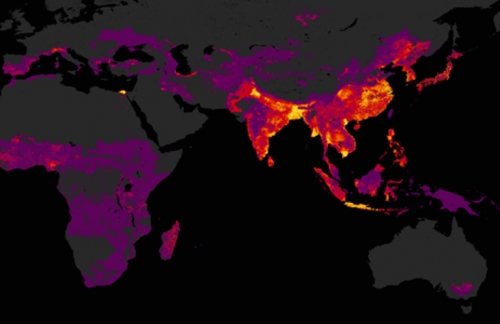
Andrew Nelson and his team show us a glimpse of the world painted according to numbers, figures,...

Almost 40% of the world’s harvested rice area is in South Asia―home to 1.1 billion people (74%...
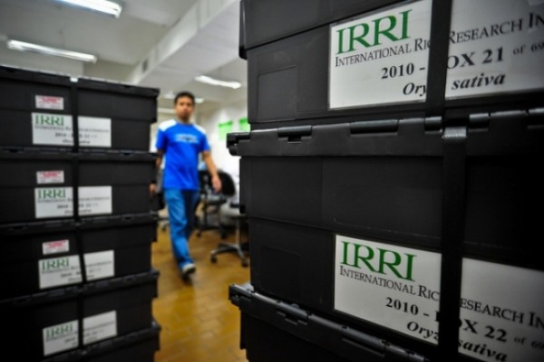
The genetic diversity in traditional and modern rice varieties, and in the wild relatives of rice, is...
The temperate regions of the world lie between the Arctic Circle and Tropic of Cancer, and the...
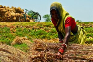
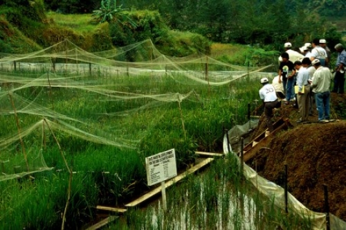
Water is essential in rice farming and its control in rice fields helps farmers attain high yield....

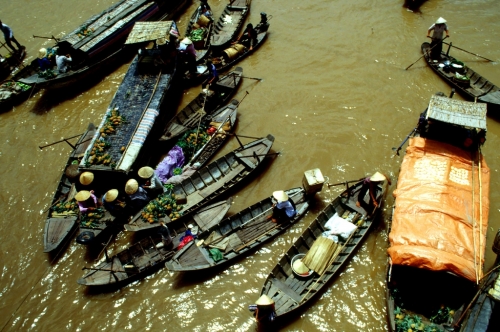
Rice is produced in landscapes that range from extreme monocultures to highly diverse areas. Tropical rice fields...
Rice is often produced in the lowest parts of the landscape. These are good places to grow...

Rainfed lowland rice agroecosystems are characterized by fields that are flooded for at least part of the...

Prioritization of agricultural technology development—such as breeding for new varieties—should, among other things, be based on expectations...