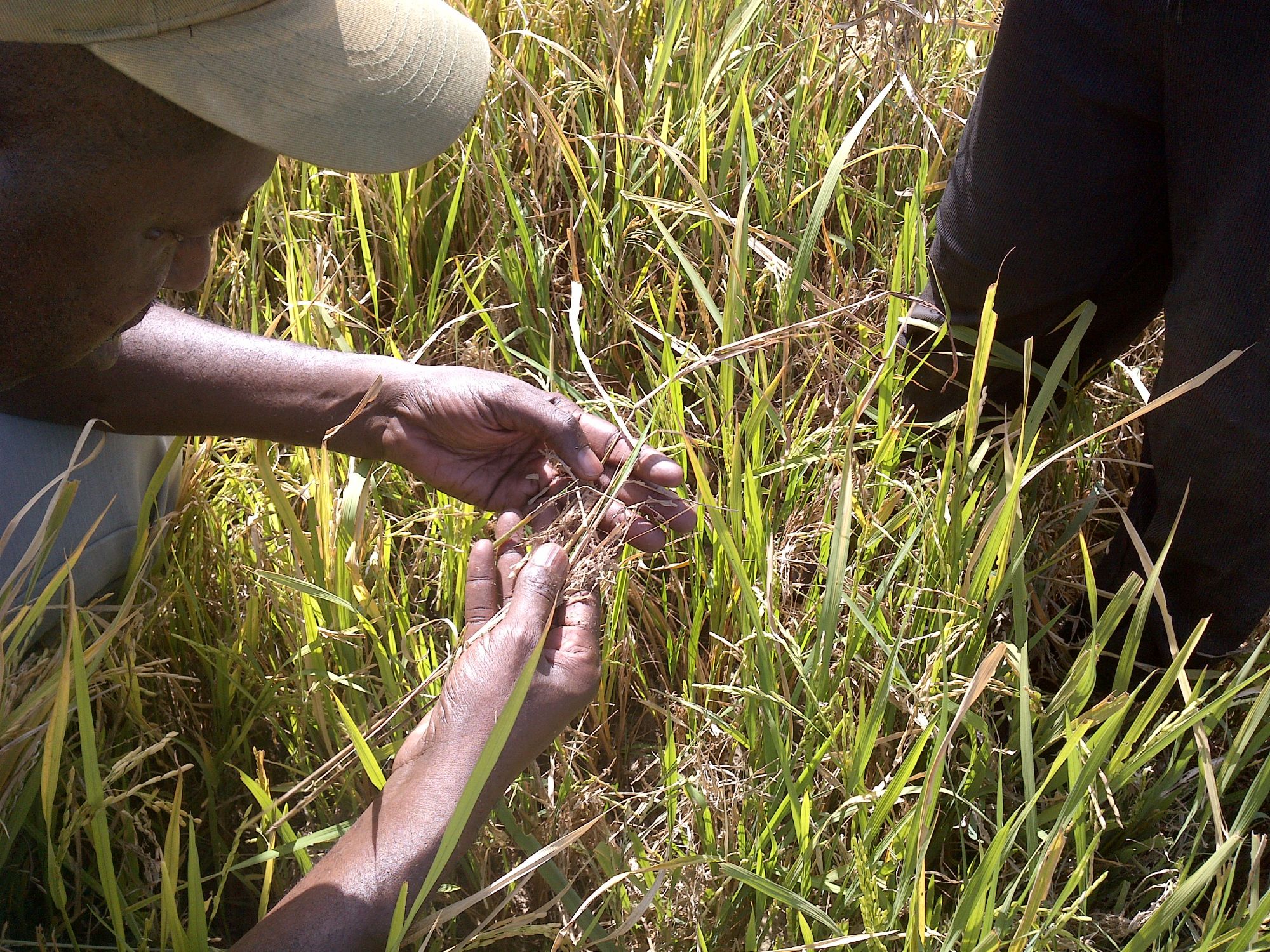
In the Senegal River Valley (SRV) region, rice is primarily cultivated by smallholder farmers under irrigated ecosystems. The crop plays a significant role in the country’s economy, food security, and culture. The valley is the country’s major rice-producing region, with about 70% of the country’s total rice production, covering about 46% of agricultural lands. Secondary only to the SRV region is Casamance, located towards Senegal’s southern region. Casamance receives more rain, which allows rice farmers to rely on rainfall for water, enabling the cultivation of rainfed lowland (bas-fond) and upland rice. Senegal’s wet season begins around June, allowing farmers to harvest their crops by November to December. Altogether, this entire ecosystem makes rainfed rice systems vulnerable to drought since Senegal also lies along the Sahel region, the semi-arid belt of northern Africa, characterized by a hot, arid climate with distinct wet and dry seasons. About 70% of Senegal’s households participate in the agriculture sector, but it only contributes 17% to the country’s GDP, providing a huge opportunity to improve rice production in the country.
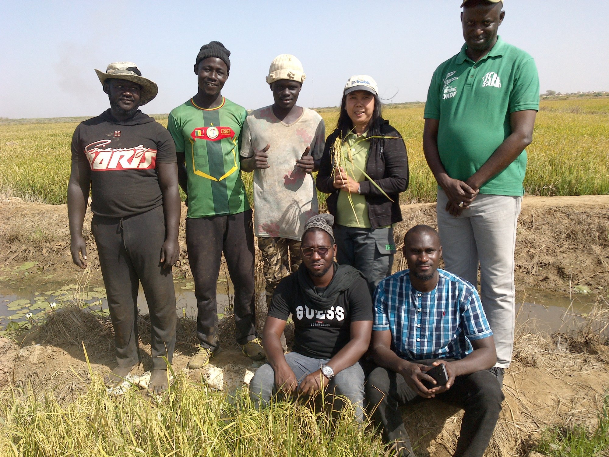
Under the CGIAR Initiative on Digital Innovations and the CGIAR Digital Transformation Accelerator, the International Rice Research Institute (IRRI), the Institut Sénégalais de Recherches Agricoles (ISRA), and sarmap harnessed satellite technology (Sentinel-1A, Landsat 8/9, and Sentinel-2) to create a digital platform that can help monitor rice production in Senegal. The IRRI-sarmap team piloted the Remote Sensing-based Information and Insurance for Crops in emerging Economies (RIICE) technology, considering Senegal’s geography, climate, and production systems, and combined Earth Observation data with ground information and ORYZA’s crop growth modelling platform to map rice area, track cropping seasons, and simulate yields. IRRI and sarmap initiated the development of RIICE in 2011, with the support from the Swiss Agency for Development and Cooperation (SDC), for derisking rice crops by mapping climate vulnerability of rice-producing areas in Asia.
The tools are now adapted to African rice agro-ecosystems and piloted in Mali, Nigeria, Kenya, and Ivory Coast, in collaboration with national partners and AfricaRice. Dr Omar Ndaw Faye, Director of ISRA – Saint Louis, Senegal, highlights that “…accurate data for rice planted areas and production allows the Senegal government to better plan rice subsidies based on paddy rice selling price, schedule the deployment of combine harvesters, or manage rice imports. In addition, a large portion of the rice production in the valley is insured, and such a digital platform helps banks and insurance companies to monitor production anomalies”. The RIICE technology is currently integrated into a global rice monitoring platform with the European Space Agency, through the Consistent Rice Information for Sustainable Policy (CRISP).
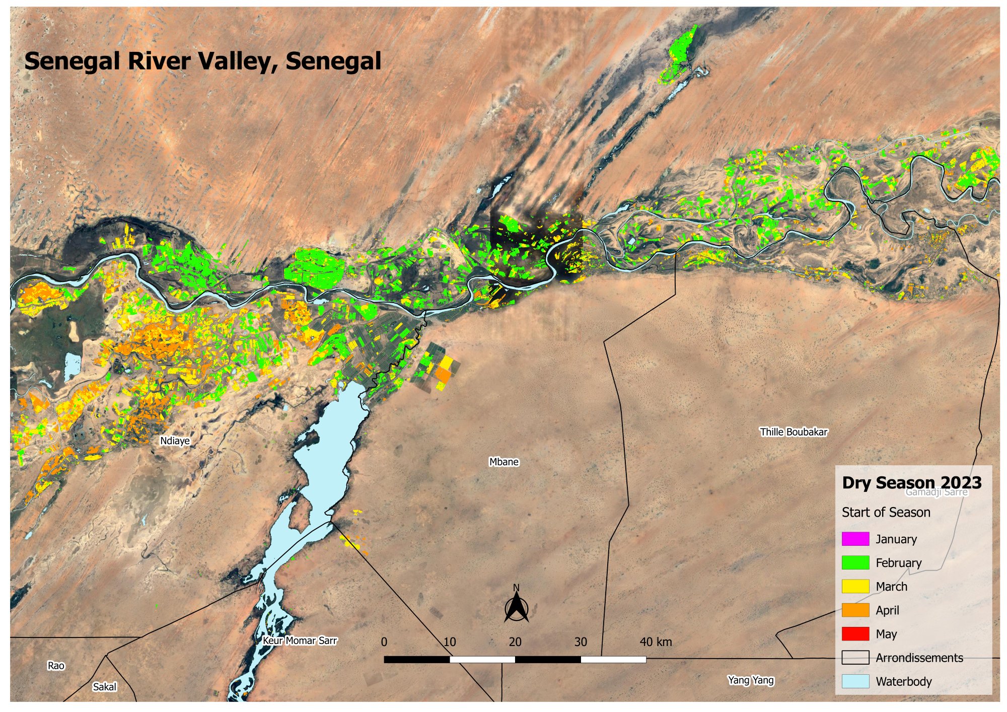
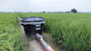
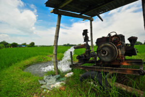
In the Senegal River Valley, 36,300 and 21,200 ha (total 66,000 ha) of irrigated rice were mapped as cropped with rice during the dry season and the wet season, respectively. These values confirmed that rice is essentially cropped as a mono-season crop, and that there has been a shift in cropping schedules and systems compared to the past decade, with a current dominance of rice cropping during the dry season. This was made possible by an improvement in irrigation infrastructure which allowed more systematic and extended dry rice cultivation, leveraging more favorable climatic environment, earlier crop establishment with higher yield, while avoiding pests and diseases more prevalent during the wet season.
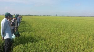
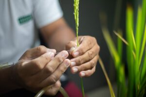
IRRI worked with ISRA to collect field data and conducted capacity-building workshops to promote remote sensing and crop modeling techniques for rice farming monitoring. The team generated quality maps of rice areas, Start-of-Season, and simulated yields. These data will help stakeholders understand the dynamics of cropping systems and assess land and water use for efficient resource distribution. It also identifies underutilized areas with potential for expansion, guiding future agricultural development and climate change adaptation strategies. Mapping rice cropping systems provides crucial data for resource management, policy development, and ensuring the long-term sustainability of rice farming in the region.
The information obtained through these activities can help smallholder farmers access insurance through risk transfer and disaster loss assessments. “The project’s positive results will be shared with relevant organizations within the ministry (extension organizations, academics, and producer organizations). ISRA, through its Director General, intends to promote this project and share it with the ministry and the government so that the Senegalese government can integrate RIICE in its information systems” concludes Dr. Faye.