India’s agriculture ministry will hire private agencies for the second year for a pilot study of field data collection using drones in agricultural areas of 100 districts under the Pradhan Mantri Fasal Bima Yojana crop insurance program.
As harvesting in the selected areas will be completed shortly, the ministry has requested the Directorate General of Civil Aviation to approve the operation of drones flying drones in the region.
The ministry uses drone-based images as one of the important inputs in the models for crop yield estimation and validation as well as crop damage valuations.
Read the full story at Financial Express
More information about crop insurance and drones:
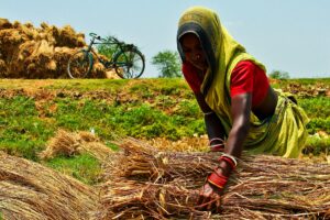
Odisha’s farmers cope with climate risks using crop insurance
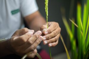
Mr. Swain owns about half a hectare of farmland and cultivates another 1.2 hectares under a sharecropping contract. During the previous kharif, brown planthopper infestation caused major crop losses. Mr. Swain was not spared and a major portion of his crops had been damaged by the pest attack. He said that agriculture officers conducted a crop cutting experiment in the affected area and found that most of the farmers from their village faced major losses due to pest attack. Fortunately, he and some other farmers had a safety net to bail them out of distress by investing in crop insurance. Mr. Swain and other farmers who had availed of the insurance received payouts.
The role of science, technology, and innovation in reducing poverty and hunger
Innovations are occurring in all areas of science and, like the industrial revolution in the early 1800s that saved the world from the fate of the Malthusian trap, many of today’s advances will allow us to break free of poverty and hunger.
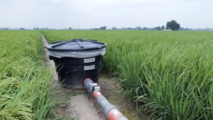
Researchers use drones to study nutrient status, greenhouse gas emissions of rice crop
Unmanned aerial vehicle or drone footage provides a more integrated visual inspection of a rice field from above and makes it possible to gather more accurate, efficient, and location-specific data compared with traditional data-gathering instruments. Through remote sensing, drones are used to collect field data in form of raw images that capture various indicators of nitrogen crop growth status, for example, the greenness of the leaf and the density of the canopy.