Delta Drone International is expanding operations to provide agricultural services for Syngenta in Zambia.
The drone-based data provider will assist Syngenta’s research and development team in providing Zambian farmers with the latest advances in crop protection and seed innovation.
Zambia’s agriculture sector contributes about 19% to its GDP and provides employment for 75% of the country’s population.
Read the full story at Spatial Source
More on drone technology in agriculture:
Researchers use drones to study nutrient status, greenhouse gas emissions of rice crop
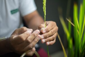
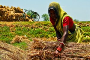
Unmanned aerial vehicle or drone footage provides a more integrated visual inspection of a rice field from above and makes it possible to gather more accurate, efficient, and location-specific data compared with traditional data-gathering instruments. Through remote sensing, drones are used to collect field data in form of raw images that capture various indicators of nitrogen crop growth status, for example, the greenness of the leaf and the density of the canopy.
The role of science, technology, and innovation in reducing poverty and hunger
The use of drones to collect phenotypic data will increase at an exponential rate in the future, providing additional information for researchers. Huge phenotypic and genomic datasets can now be mined through bioinformatics. I envision a future in which plant breeders will be able to take a device similar to a Star Trek “tricorder” to the field and sample plants in an F2 population, identifying those that have a specified set of genes that are preloaded in the instrument, eliminating the need to take samples into the laboratory. Another future possibility is the ability to sequence plants right in the field.
Plant phenomics: unlocking the potential of rice diversity
With the right tools in place, the next challenge is to deploy them at scale. Over the past year, drones have appeared in the sky above IRRI headquarters in the Philippines. Drones provide an excellent means to collect data with which to sieve large collections of rice diversity for valuable traits. Fitted with RGB, spectral, and thermal imaging sensors, the drone can collect data at the farm scale—measuring up to 100 hectares of rice in an hour. Cheap, fast, and highly mobile, drones have proven so successful that they will be deployed globally as part of the RICE–Global Rice Array, a network that brings together an international community of rice scientists to conduct a joint effort in enhancing the power of phenomics.