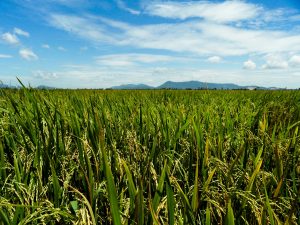
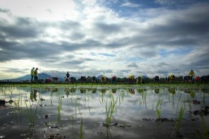
To develop effective poverty reduction strategies, we need to understand what the geographic patterns of poverty are, and what causes these patterns. A first step is poverty mapping. Here, we show a detailed map of the poverty ratio in four countries in the Greater Mekong Subregion. The poverty ratio is the percentage of the population that has an income (or level of consumption) below the national poverty line. Thailand is least poor, but its mountainous areas are poorer than its lowlands, just like in Laos and Vietnam. It is remarkable how similar the situation is on each side of the Vietnam-Laos border. In Cambodia, the situation is less clear, with poor areas in some highlands but also in the large floodplain of the Tonlé Sap Lake.
________________________________________________________________________________