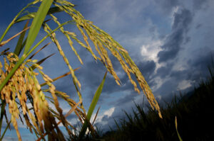
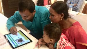
Drones have been circling the experimental farms of the International Rice Research Institute (IRRI) not just to take amazing bird’s-eye-view photos but to monitor the rice crop on a broader scale.

Unmanned aerial vehicle or drone footage provides a more integrated visual inspection of a rice field from above and makes it possible to gather more accurate, efficient, and location-specific data compared with traditional data gathering instruments. Through remote sensing, drones are used to collect field data in form of raw images that capture various indicators of nitrogen crop growth status, for example, the greenness of the leaf and the density of the canopy.
“Using emerging technologies, we aim to develop tools and models for decision-making in nutrient management that result in sustainable practices and input use-efficient rice-based cropping systems,” said Dr. Ando Radanielson, IRRI cropping systems modeler.
For her research, Radanielson makes use of remote sensing drones to gather data on rice crop growth in response to climate variability and nitrogen application under various crop residue management practices.
The lack of nitrogen could affect the rice plant’s growth, yield, and grain quality. If applied in excess, the unused nitrogen may leach and pollute the deeper soil layers the ground water or lead to increased volatilization and return to the atmosphere as nitrous oxide (N2O), a potent greenhouse gas. In addition, the excess application represents an unnecessary increase in the cost of rice production for small farmers.
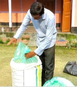
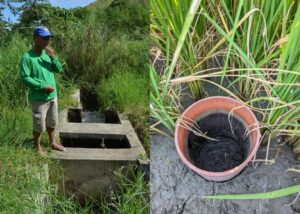
Residue management practices specifically of rice straw have implications on nitrogen cycling and crop growth. While rice straw contains valuable nutrients for the soil, on the other hand, incorporating straw in flooded rice fields enhances greenhouse gas emissions from the field, thus, aggravating global warming.
The raw images collected are processed and converted to accurate numerical data. Drone-collected data is supplemented by plant sampling gathered from the field for analysis of nitrogen content, and to measure biomass. All of this information will be entered into crop models to simulate and assess crop growth, predict productivity, and define proper nitrogen management based on specific conditions in farmers’ fields.
“We aim to define what information we can use to determine the nitrogen status of the crop and how nitrogen application can be adjusted to suit the plant’s changing needs—based on the real-time variation of information—during the crop growth cycle,” Radanielson said.
The use of new technologies for this particular research builds on the manual leaf color chart (LCC), a tool developed by IRRI and its local partners several years ago. It is a simple and inexpensive way for farmers to determine the nitrogen level in crops.
Using the same principle, the LCC has evolved into a mobile phone-based leaf color analyzer. More recently, the remote-sensing drones and satellite images have been found helpful in data collection and monitoring.
“As research modalities evolve, at the end of the day, the farmers should benefit from these advances,” Radanielson said. “The use of advanced technologies will help rice farmers come up with science-based and sound decisions in crop management and improve their ability to adapt to climate change and mitigate its impact while continuously increasing productivity and profitability and decreasing environmental footprint.”
This research is being conducted under the rice straw management project funded by the German Federal Ministry for Economic Cooperation and Development and supported by the CGIAR Research Program on Climate Change, Agriculture, and Food Security.
Hi! This is Doritz Thian, a research student from Malaysia. Would like to know if i can get access to the publication on the above research.
Thanks !!
I would to understand how you use the raw images collected to convert to accurate numerical data.
What is the methodology use supplement the drone data and the type of plant sampling taken.
Hi Rosita,
The imagery is processed using software to create orthomosaics, digital surface models, and reflectance maps for the whole field. The pixel data is then extracted for each plot and analyzed to calculate vegetation indices like NDVI, NDRE, VARI etc… which are correlated with field collected data like biomass, nitrogen content, and percent cover. The digital surface model (DSM) is used to measure canopy height. Models can then be developed using this type of data collected over time to predict rice growth and yield responses to various environmental and biological conditions.