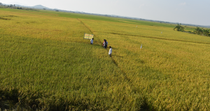
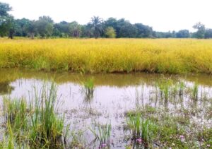
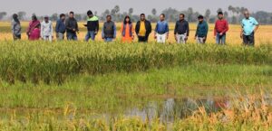
Satellite images showing flooded rice farms and buildings that were damaged by Typhoon Haiyan (local name Yolanda) in the northeastern part of Leyte Province have been released as part of ongoing work to track rice production in the Philippines.
The satellite-generated maps, developed by the International Rice Research Institute in collaboration with sarmap and the Department of Agriculture–Philippine Rice Research Institute (DA-PhilRice), show that flooding has affected about 1,800 hectares of standing rice crop across 15 municipalities and that the typhoon badly damaged buildings where harvested rice may have been stored.
“The Department of Agriculture appreciates the timely release of satellite maps on rice areas affected by Typhoon Yolanda. We will refer to these as we firm up assessment of the effect of this calamity and as we craft our rehabilitation interventions,” said DA Undersecretary for Operations and National Rice Program Coordinator Dante Delima. “The release of these maps also boosts our confidence that the current system of rice production monitoring and assessment in the country shall soon be greatly enhanced with this ongoing project between DA and IRRI.“
One map that showed rice fields that were flooded also showed which fields were harvested before the typhoon struck. A second map revealed extensive damage to buildings and other infrastructure, suggesting that harvested rice that was in storage was also likely damaged from wind, rain, and storm surges.
Additional data released last week by DA-PhilRice and IRRI showed that harvesting in the region is usually done from September to October and, this year, was done just before the typhoon hit on 8 November 2013. Extensive damage to infrastructure, however, will have affected rice in storage, irrigation facilities, farm equipment and, likely, planning and preparation for the next rice-growing season.
“Geographic information on the location and seasonality of rice can help in quantifying rice production and evaluate losses following extreme weather events, but it can also be used to plan proactively,” said geographer Andy Nelson, who heads IRRI’s Geographic Information Systems Laboratory.
Dr. Nelson said that the maps could aid policymakers in making decisions and setting priorities among research and extension activities meant to help rice farmers.
The maps are based on synthetic aperture radar (SAR) images processed by sarmap in the days after the typhoon. The data were provided by COSMO-SkyMed from ASI/e-GEOS and by InfoTerra GmbH from the TerraSAR-X satellites.
“In situations like this, it is essential to use all available SAR platforms to monitor developments,” said Francesco Holecz, chief executive officer of sarmap. “A close cooperation with the various space agencies and data providers is crucial to plan and acquire SAR data in the best possible way. Future satellites, such as Sentinel-1A/B, will significantly contribute to rice crop monitoring.”
Leyte is one study site within the where IRRI, sarmap, and DA-PhilRice work with the German Development Cooperation (GIZ), Allianz, and the Swiss Agency for Development and Cooperation (SDC) to develop technologies that monitor rice-growing areas for food security and crop insurance applications.
The consortium was able to map not just the flood-affected areas, but also the status of the rice crop when the typhoon struck.
PhilRice Deputy Executive Director for Development Eduardo Jimmy Quilang said that the maps underscore the value of the consortium’s work.
“With the satellite maps, we are able to understand faster the extent of Typhoon Yolanda’s damage to rice production and, hopefully, improve our response to the situation,” said Dr. Quilang.
IRRI and its partners are also doing longer term research to monitor when and where rice is grown in the Philippines.
The research behind these data sets was supported by the DA‘s Food Staples Sufficiency Program (FSSP), the SDC-funded RIICE project, and the Global Rice Science Partnership that is the CGIAR Research Program on Rice.
Leyte flood maps in relation to rice-growing areas

")
")

")
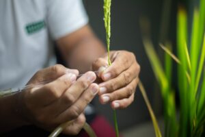
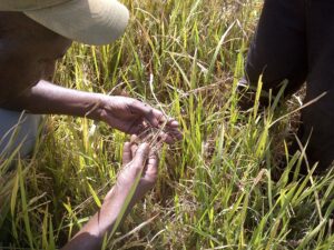
Click on photos for larger images