 Remote sensing and spatial modeling have evolved significantly in recent decades.Tools are already available that can be used for a wide array of applications. Various types of satellite images can be downloaded for free, thus cutting costs and making remote sensing accessible to end-users such as managers of large-scale irrigation systems. Remote sensing allows users to obtain system-wide, objective spatial information that can be used to assess and improve the performance of irrigation systems.
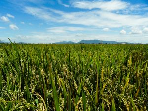
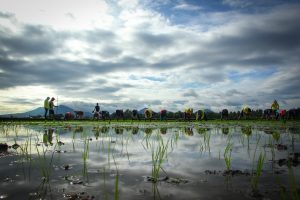
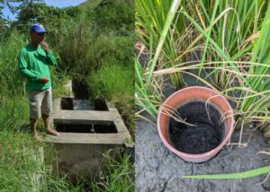
In 2008, a remote-sensing–based study was conducted to assess the water consumption, rice yield, and water productivity of the Office du Niger in the Ségou region of Mali. The Office du Niger is one of the oldest and largest irrigation schemes in West Africa. It diverts water for irrigation from the Niger River to cultivate approximately 100,000 hectares of rice. The scheme is divided into five zones, of which one is located on the shores of the Niger, while the others are located along a former river bed ( fala), which is filled during the irrigation season. Water is distributed using gravity from the fala to fields through a large hierarchical system of canals. The major irrigation season occurs during the rainy period (June to December).
During the dry season (March to June), however, only about 25% of the system can be irrigated because of limited water availability. The system provides roughly 465,000 tons of paddy each year, which is about 40% of the total national production.
The Surface Energy Balance Algorithm for Land (SEBAL) was applied on various Landsat images that were acquired during the growing season to estimate evapotranspiration, rice yield, and water productivity during the 2006 wet season.
SEBAL calculates, on a pixel-by-pixel basis, the components of the surface energy balance using surface temperature information gathered by satellites and standard meteorological measurements of air temperature, relative humidity, wind speed, and incoming radiation. The maps show a significant variation between different locations in the system, indicating that scarce water resources are not used efficiently throughout the system. Average water productivity in the most northern zone and the zone located along the Niger amounts to 0.6 kilogram per cubic meter (kg/m3), whereas the centrally located zones show values of 0.7 to 0.8 kg/m3. Also, at field level, the variation in water productivity is high, indicating that farmers can still become more productive with their water resources. Although the global average value of water productivity is 1.0 kg/ m3, this value cannot be set as a benchmark as a result of prevailing unfavorable conditions regarding the climate and soil fertility.
The causes of high and low water productivity can be investigated by combining these maps with soil fertility, groundwater levels, water quality, irrigation infrastructure, and measured water supplies, among other secondary information.
Unproductive and inefficient areas can be located and appropriate measures taken to improve the system’s irrigation performance. Examples are improvement of drainage infrastructure, reduction of irrigation water supplies to better match demand, and improvement of field water and fertility management.
The technical and scientific details on this study were published in Zwart SJ, Leclert LMC. 2010. A remote sensing-based irrigation performance assessment: a case study of the Office du Niger in Mali. Irrigation Science 28:371-385.
_________________________________________
Dr. Zwart is a remote sensing and geographic information systems specialist at Africa Rice Center.

