In the coastal polder zone of Bangladesh, satisfying food demand and improving the livelihoods of about 8 million people while at the same time preserving natural resources are major challenges.
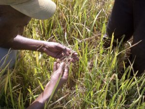
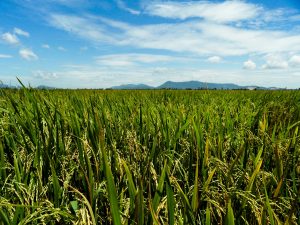
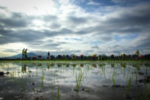
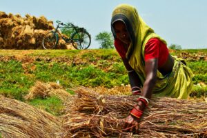
Eighty percent of the population in this zone lives below the national poverty line and many farms rely on a single low-yielding crop of rice grown during the aman (rainy) season. A large area remains uncultivated at other times of the year because of waterlogging, salinity, poor drainage, and poor management of the water infrastructure. The coastal zone is also highly vulnerable to flooding, drought, and cyclones.
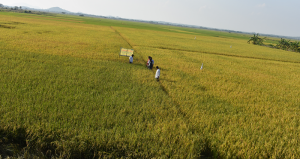
However, the coastal area is also full of opportunities to improve the population’s food security and livelihood because the region has fertile soils and a good network of rivers and khals (channels for irrigation and drainage). The Ganges Basin Development Challenge (GBDC) Program of the CGIAR Challenge Program for Water and Food is focusing on improving livelihoods and increasing productivity sustainably in the coastal polder zone, and has developed and tested innovative cropping systems and water management practices suited to the local conditions.
Before a new cropping system can be recommended, it is important to identify its “extrapolation domain,” which determines where it could be successful.
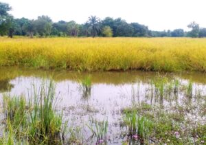
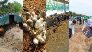
One example system is rice-shrimp cultivation where rice is cultivated between August and December followed by shrimp between February and July. The land-use requirements for rice are based on rainfall in July and August, river water salinity in August, inundation depth, proximity to a drainage canal, and soil type. The requirements for shrimp cultivation are based on weather, water salinity, inundation depth, and soil. These requirements are combined in a decision tree to define different levels of suitability for this cropping system. Once this model is in place, spatial data sets for each requirement are collected, and areas that are highly, moderately, marginally, or not suitable for a shrimp-rice system can be mapped.
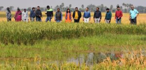
There are many sustainable and profitable cropping systems that can be adopted in the polder region and each one will have its own extrapolation domain map. These maps can be assessed together to determine the most appropriate land use in a given polder and thus support local and regional resource management decision making. This collaborative effort has brought together expertise and data from many organizations to answer questions on how productivity in a complex and fragile environment can be sustainably increased.
_________________________________________
Dr. Chandna is a researcher in remote sensing and GIS modeling in the Social Sciences Division (SSD) at IRRI. Dr. Nelson is a geographer and head of the GIS laboratory at IRRI. Mr. Khan is a principal specialist at the Institute of Water Modeling in Bangladesh. Dr. Hossain is a principal scientific officer of the Soil Resource Development Institute in Bangladesh. Mr. Rana, is an assistant engineer in the GIS Unit of the Local Government Engineering Department of Bangladesh. Mr. Rashid is an executive engineer at the Bangladesh Water Development Board. Dr. Mondal is a collaborative research scientist in the Crop and Environmental Sciences Division and SSD at IRRI. Dr.Tuong is an IRRI consultant.